To get a list of topographical maps that cover a particular area, drag the orange map icon to your point of interest then click the "Find Maps" button. You will be able to download your map on the next page. The 2025 NCKMS Symposium's map database currently contains 273,421 maps. The catalog was last updated on Friday, July 17, 2026.
![]() Bristlecone Convention Center
Bristlecone Convention Center
![]() Great Basin NP
Great Basin NP

The National Cave and Karst Research Institute (NCKRI) is a nexus of research, stewardship, outreach and information for caves and karst while fostering interdisciplinary collaborations, created by the US Congress in 1998 in partnership with the National Park Service, State of New Mexico, and the City of Carlsbad.
NCKRI is located in Carlsbad, NM, and is a research center of the New Mexico Institute of Mining and Technology.
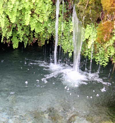
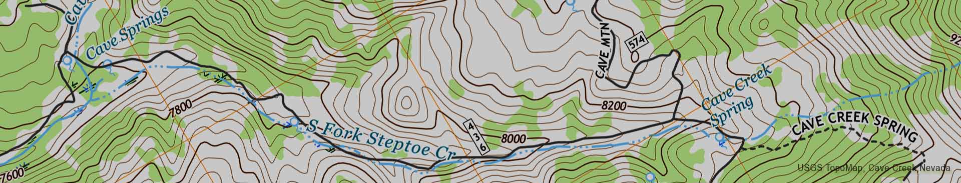
There are 48 miles of perennial streams, and over 400 springs in the South Snake Range, home to Great Basin National Park. Over 75% of wildlife species are dependent upon these riparian areas for food, water, and cover at some stage of their life cycles.